


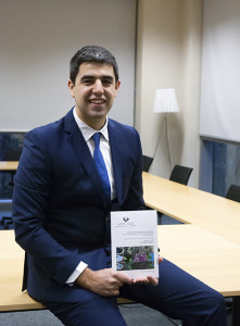
 Javier Lozano, researcher in the Digital Media department of Vicomtech-IK4 has recently presented his thesis “Large scale geospatial data analysis through efficient supervised machine learning”.
This scientific work developed by Javier Lozano in Vicomtech-IK4 and directed by Dr. Ekaitz Zulueta from Universidad del País Vasco and Dr. Marco Quartulli from Vicomtech-IK4 is an important step towards the web-based automatic learning techniques integration in map and tele detection data servers.
This system answers to the search queries made by users with a thematic map, on a map generated by high resolution images taken by an aerial camera.
This way, different user profiles, even people without tele detection knowledge, could generate updated maps, for example related to the following issues: growth of urban areas, environmental degradation and desertification processes.
Different elements are combined in the thesis, such as automatic learning techniques, map servers and system development which allow the interaction of the user with the system.
During the development of the doctoral thesis an approach of the developed platform to the big data environments has been made, allowing to validate its feasibility and behaviour to face continental and global scope problems.
The objective of integrating the automatic learning in web servers has been achieved for the first time through this work.
Original source: Vicomtech


