


The system has been successfully tested in a pilot project by Lincolnshire County Council, helping them to change the way they resurface roads and to save money and effort in the process.
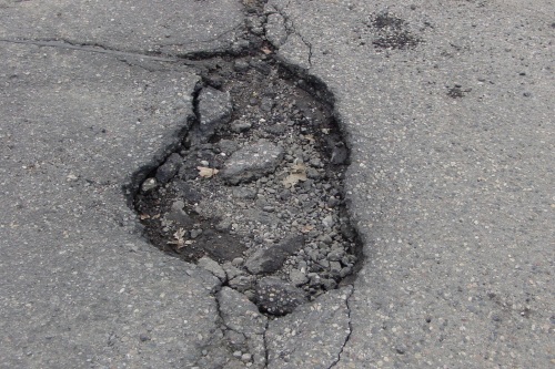
In the course of their research, scientists at Cranfield University realised that many rural roads in the UK are constructed with very little foundation, which increases the likeliehood that potholes will form due to the ground swelling and shrinking.
Cranfield manages national soil data for England and Wales, and was able to combine this data with climate projections, creating a map of the areas most at risk for this kind of damage.
The research team was then able to conduct a statistical analysis of Lincolnshire roads, which gave them a hot-spot analysis of where problems are likely to occur in the future. The project was funded by the Engineering and Physical Sciences Research Council (EPSRC), the UK’s main agency for funding research in engineering and the physical sciences.


